StreetDrone Autonomous Driving
This project developed a vision perception stack for the HAN StreetDrone, a modified Renault Twizy used for autonomous vehicle research. The work focused on enabling the vehicle to detect road users, estimate their distance, predict pedestrian movement, and identify free parking spaces using computer vision, LiDAR, and autonomous driving software workflows.
The system used NVIDIA DRIVE PX2 and DriveWorks-based perception, with DriveNet selected for camera-based multiclass object detection because it was optimized for the PX2 platform. The detector was used to classify vehicles, pedestrians, bicycles, road signs, and traffic lights, supporting real-time perception on the StreetDrone platform.
To estimate object distance, camera detections were fused with a LiDAR occupancy grid map. The object’s image position was converted into a top-view angle using the camera field of view, then matched with the first occupied grid cell along that direction to calculate distance in meters.
The project also implemented pedestrian trajectory prediction by tracking object positions over time in the grid map and fitting a direction vector using a best-fit line. Parking spot detection was handled through occupancy analysis of predefined parking regions, allowing the vehicle to select an available parking space for autonomous parking demonstrations.
My Tasks
Exploiting horizontal FOV to determine top-view angle to pedestrian.
Distance measurement using a LiDAR occupancy grid and camera-based angle estimation.
Naive pedestrian trajectory prediction using interpolation.
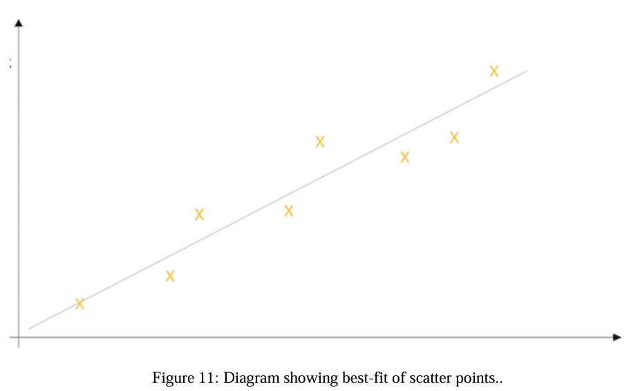
Interpolation via best-fit line.
Free parking space detection using LiDAR occupancy maps within predefined parking regions.